When Diane Fischman moved to Minneapolis in 2006, she quickly lost enthusiasm for the traffic on Interstate 394. So she started taking the bus instead.
Today, Fischman uses Route 9 on a near-daily basis to get from her home in St. Louis Park to her job in downtown Minneapolis. She also uses Route 9 to bring her bike to Theodore Wirth Park or Cedar Lake and to visit the Minneapolis Farmers Market. When she travels, she uses the bus to connect with the METRO Blue Line and continue to the Minneapolis-St. Paul International Airport.
“I started using it (the bus) and found out I could use it to pretty much get all over town,” Fischman said this week as she commuted into her job at Wells Fargo. “Now I hardly ever use my car.”
Like Fischman, many customers interviewed aboard Route 9 on a recent weekday morning said they use the bus for several reasons and enjoy the freedom it provides them to leave their car at home, or give it up altogether.
From the west, Route 9 runs from the St. Louis Park-Minnetonka border along Cedar Lake Road, stopping at the Louisiana Avenue Transit Center and the Park Place & I-394 Park & Ride, each of which sit just south of I-394. From there, select Route 9 trips venture north to Glenwood Avenue, in Golden Valley, or continue west on Wayzata Boulevard, serving The Shops at West End and Target’s West Campus.
All Route 9 trips eventually operate through or near Theodore Wirth Park, serving the Bryn Mawr neighborhood before entering downtown Minneapolis on Glenwood Avenue, where streetcars once served large industrial tenants.
Among those who use the western section of Route 9 is Lubenia Brown, who has been riding the bus for nearly a decade. Brown boards at the Louisiana Avenue Transit Center and rides to her job as a special education assistant at Anwatin Middle School in Bryn Mawr.
“It’s very convenient because it drops me off a half-block from the school and I’m there 15 minutes before the day starts,” Brown said.
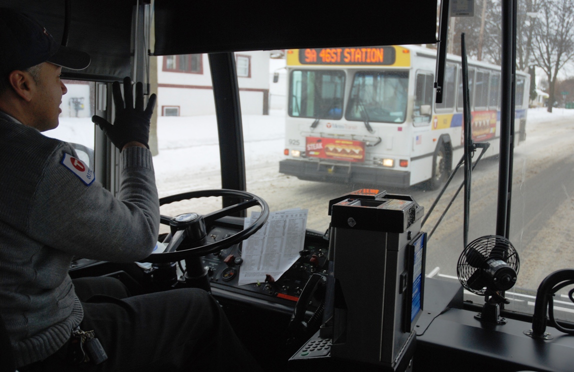
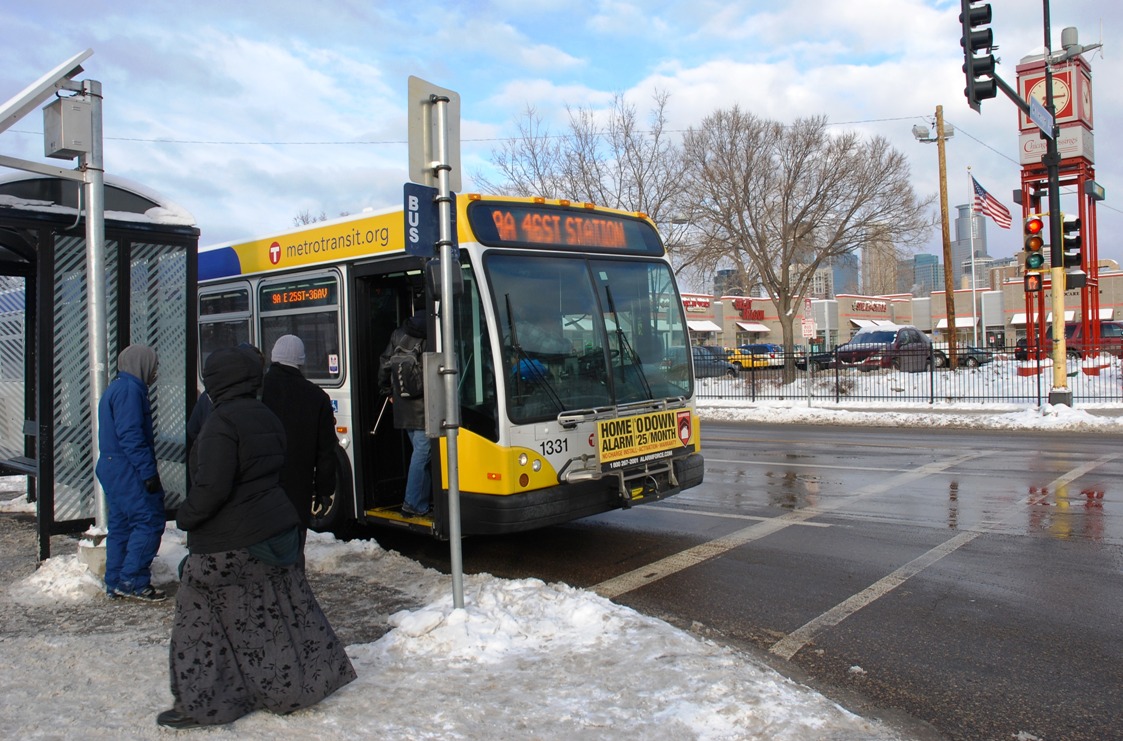 In downtown Minneapolis, Route 9 stops at the Ramp A/7th Street Transit Center, a popular hub for customers going to Twins games at Target Field, then continues south on Franklin Avenue to Minneapolis’ Longfellow neighborhood. In south Minneapolis, Route 9 intersects with the METRO Blue Line’s Franklin Avenue and 46th Street stations.
Andrew Arndt moved to Bryn Mawr in September. Although he likes to bike to work, Arndt said he began using Route 9 when the snow started to fall and temperatures dropped. During his 20-minute bus commute to his stop at Nicollet Avenue, he catches up on work email and reads the news on his phone.
“I like the fact that I don’t have to deal with traffic or other drivers,” he said.
Route 9 originally ran between Theodore Wirth Park and downtown Minneapolis, but was extended further south to the Blue Line’s 46th Street Station in 2009. The move was part of an effort to improve the efficiency of "through routes" that enter and leave downtown.
The extension has brought riders like Corinna Cohen onto Route 9.
Cohen boarded the bus on 42nd Avenue, continuing north to the Blue Line’s Franklin Avenue Station where she connected with a Route 2 bus. Though she has access to a car, Cohen said she prefers taking the bus so she can relax and avoid paying for parking. “If I was driving, I’d just be feeding the meter all day,” she said.
Sally Wiedenbeck also boarded in south Minneapolis, taking Route 9 to Bryn Mawr’s Anwatin Middle School. Wiedenbeck gave up driving several years ago and said she uses her 45-minute commute to read, listen to music and catch up on schoolwork.
“I like the bus better than driving because it feels like my time,” she said. “I can do whatever I want.”
 Route 9 At a Glance
Type: Urban Local
Service: Route 9 travels from eastern Minnetonka, through St. Louis Park and downtown Minneapolis, and south Minneapolis, connecting with METRO Blue Line Franklin Avenue and 46th Street stations. There are three Park & Rides on the St. Louis Park section of the route, including Westwood Lutheran Church, Louisiana Avenue Transit Center and Park Place & I-394 Park & Ride, at I-394 and Park Place. In St, Louis Park, Route 9 operates largely along Cedar Lake Road to The Shops at West End. In Minneapolis, Route 9 travels through the Bryn Mawr neighborhood, cutting between Cedar Lake and Theodore With Park before entering downtown Minneapolis via Glenwood Avenue. In south Minneapolis, Route 9 continues on Franklin Avenue and through the Longfellow neighborhood to 46th Street, where there are several connecting bus routes.
Route Length: Approximately 15 miles
Stops: 180 eastbound, 181 westbound
Vehicles: Standard 40-foot
Ridership: Route 9 saw more than 935,300 customer boardings in 2012, with an average of around 2,555 customer boardings per day.
History: Until 1954, the Glenwood streetcar line served industry that lined Glenwood Avenue, on the western edge of downtown Minneapolis, as well as Theodore Wirth Park, a popular weekend destination for city residents (the waiting shelter at the Wirth end of the line remains today, and sits just south of Glenwood Avenue). The Glenwood line was later joined with the 4th Avenue South streetcar line, the first electric line in the city and one of the most popular routes in the system. Route 9 originally traveled between downtown Minneapolis and Theodore Wirth Park, but was expanded as planners looked to improve travel times and frequency on "through routes" that continue through downtown (such routes reduce redundant bus mileage while offering a one-seat ride for more passengers). Route 9 was extended west to St. Louis Park in the 1970s. In 2009, it was extended south through the Longfellow neighborhood to the METRO Blue Line’s 46th Street Station.
Future: No service changes are planned at this time.