 Few of those who work at Access Ability drive themselves to the organization’s Northeast Minneapolis offices. Many come from North Minneapolis by taking a bus downtown and transferring to Route 61, which travels along nearby East Hennepin Avenue.
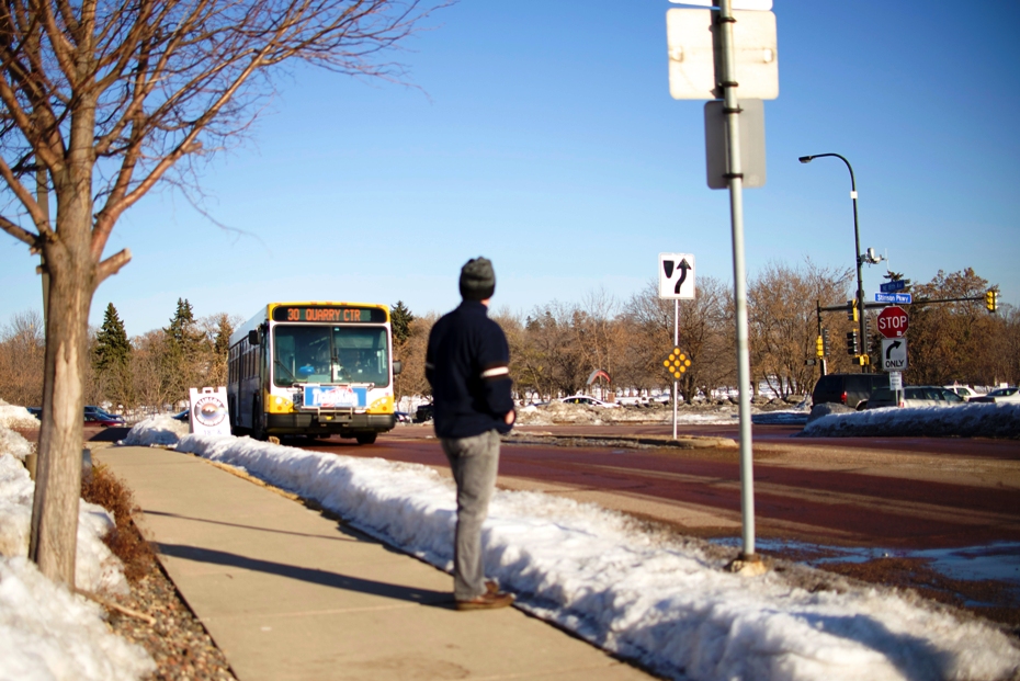
Their commutes will be quicker and easier after Route 30 begins running March 10. The new route will stop directly in front of Access Ability’s offices on Hoover Street NE as it travels between North Minneapolis and St. Paul’s Midway neighborhood.
“Very few of our people have cars for transportation so this is really going to increase access,” said Linda Cazett, who works in customer service and recruitment for the non-profit, which provides jobs and training for people who need support entering the workforce. “I think a lot of people are going to be very pleased that this bus is something they can catch.”
Providing access to employment was the primary purpose behind the route, funded by a federal grant designed to help people get to work outside the urban core. Even before its inaugural run, employers and community leaders say they believe it will do just that.
Traveling eastbound, Route 30 buses will run through North Minneapolis along West Broadway Avenue and across the Mississippi River. After crossing Central Avenue and through the Beltrami neighborhood, buses loop around the north side of the Quarry Shopping Center before continuing east to the Northeast industrial area.
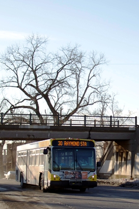
In St. Paul, buses run along Larpenteur Avenue, Eustis Street and Highway 280 to University Avenue, where the route connects to the METRO Green Line’s Raymond Avenue Station. Route 63, Route 67 and Route 87 will also serve Raymond Avenue Station when the Green Line opens June 14.
In addition to the new connections, Route 30 will shorten commutes for those using existing services by providing more direct service and eliminating the need to transfer downtown.
Matt Halley, the executive director of the Cookie Cart, said such a connection is important for those who graduate from the West Broadway Avenue bakery to work elsewhere. Few of the 150 youth who work at Cookie Cart have vehicles but many look for jobs outside the immediate neighborhood.
“There isn’t a lot of jobs right in the North Minneapolis,” Halley said. “But I can think of three or four [former employees] who have left Cookie Cart to get to jobs in the Midway area so a bus that goes over there will be very convenient for them.”
Halley himself may also use the route to get to work. Halley lives in downtown St. Paul and will be able to take the Green Line to the Raymond Avenue Station, transferring to Route 30 instead of coming all the way to downtown Minneapolis and transferring to Route 5.
Blong Yang, who represents North Minneapolis on the Minneapolis City Council, said he’s excited to see another form of transit service on West Broadway Avenue. Besides improving access, he hopes more transit will help ease traffic on the corridor.
“Broadway is a busy, narrow street so anything that adds more traffic is not so great,” Yang said. “A bus line like this is fantastic because it gives people more options.”
Route 30 closely mimics a former bus route that operated until the mid-1990s. The old route, Minneapolis Route 3, ran on West Broadway Avenue between North Memorial Hospital and Industrial Boulevard in Northeast Minneapolis. Electric streetcars began to run on West Broadway Avenue beginning in 1891 and the Broadway Crosstown streetcar operated from 1914 through 1950 between Theodore Wirth Park and Northeast Minneapolis.
Senior Planner John Dillery said he took cues from those earlier services while devising Route 30. He expects the new route to be draw more riders simply because there are more destinations, such as the Quarry Shopping Center. The Green Line and connecting bus routes should also make Route 30 an attractive option.
“It’s easy to start picturing all sorts of new connections,” Dillery said. “There’s a whole mix of possibilities here."
 Route 30 At a Glance
Type: Urban Local
Service: Route 30 buses will run between north Minneapolis and St. Paul’s St. Anthony Park neighborhood. Traveling east, buses will run from Golden Valley Road and Xerxes Avenue and along West Broadway Avenue. After crossing the Mississippi River and Central Avenue, the route travels through the Beltrami neighborhood and loops around the north side of The Quarry Shopping Center, one of the largest retail areas in Minneapolis. Buses continue east through an industrial area and serve several large employers, including Honeywell and UPS. In St. Paul, buses run on Larpenteur Avenue, Eustis Street and Highway 280 to University Avenue. On the eastern end, the route connects with the METRO Green Line's Raymond Avenue Station and ends at the intersection of University Avenue and Vandalia Street. Buses will run approximately every 30 minutes during rush hours and midday and every 30 to 60 minutes in the evening. Service runs from 5 a.m. to midnight Monday through Friday.
Route Length: Approximately 9 miles
Stops: 49 eastbound, 51 westbound
Vehicles: 40-foot standard buses
Ridership: Projected 700 passengers per day
History: The first horse-drawn streetcars appeared on West Broadway Avenue in 1883. Electric streetcars were introduced in 1891. The Broadway Crosstown streetcar line between Robbinsdale on the west to Stinson Avenue on the east. Buses replaced streetcars in the corridor in 1950. Route 30 partly mimics a bus route that replaced streetcar service, Route 3, with service from North Memorial Hospital in Golden Valley to Broadway and Industrial Boulevard, in northeast Minneapolis. The route was eliminated in the late-1980s.
Future: Route 30 was created through a federal grant designed to connect people to jobs in outlying areas. Service will be evaluated after one year of service. West Broadway Avenue has also been identified as a potential Bus Rapid Transit corridor. The service would largely follow the path of Route 14 from Robbinsdale to downtown Minneapolis.
For additional photos in full resolution, view the Route 30 set on Flickr.